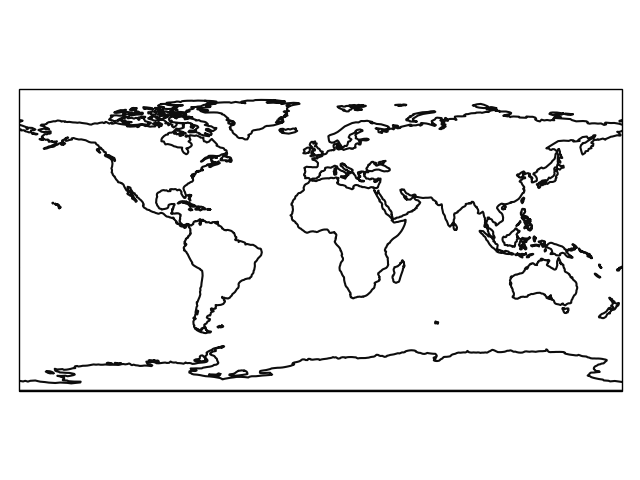
Landmask (NaturalEarth)
The outline of the landmask is obtained from Natural Earth. It is automatically downloaded on-the-fly (but only once) with cartopy and opened with geopandas. The following landmask is currently available:
- Land 1:110m
Note
If available, it is better to use the landmask of the used data set.
The following imports are necessary for the examples.
In [1]: import regionmask

In [2]: import matplotlib.pyplot as plt